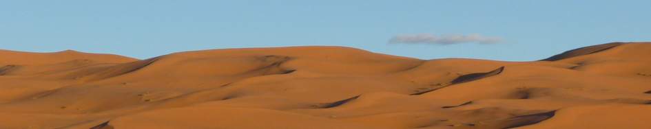
Kirgistan 2018
BlueIce gave me the Choucas Light Harness. Excellent handling in every condition, even when wearing warm gloves.
Restube provided 2 big inflatable tubes for building a raft. But the current of the river was too fast. So we couldn't reach the base of Somoni.
- Pik Somoni - a try
- Ak-Tau - Peaks where nobody goes
- Pik Pobeda - The Abalakov Route
Pik Somoni/Kommunism approach
The highest peak of the Pamir is usally climbed from the northwest side where a helicopter takes the climbers to the base camp.
We tried something more challenging. The east side of Somoni is not easily accessible. Coming from Kyrgyzstan, there is a gravel road leading to Altyn-Mazar, a small settlement on the border to Tadjikistan. But there is no official border crossing.
There are several creeks running through the huge river bed, which come from the Fedchenko Glacier and from the Pik Lenin area. For crossing the river we brought a small raft but the current was too fast and we couldn't make it to the other side.
The rest of the approach would have meant walking for about 45km upstream and over morains and glaciers.


Ak-Tau
Between the well known summits of Khan Tengri and Pobeda sleeps a seldom visited still very interesting group of peaks between 5000m and 6200m.
For acclimatisation we 'd choose these mountains and because of a lack of information we had to find our own route by going there and looking what it was like.
In the end we did traverse the little range. We had to climb steep faces, make our way through heavily broken glaciers and cross knife edged ridges with huge cornices. A real adventure. After 7 days we were glad to be back in the base camp.
summitpost.org Ak-Tau
summitpost.org Ak-Tau Traverse 2018
American Alpine Journal 2019


Pik Pobeda
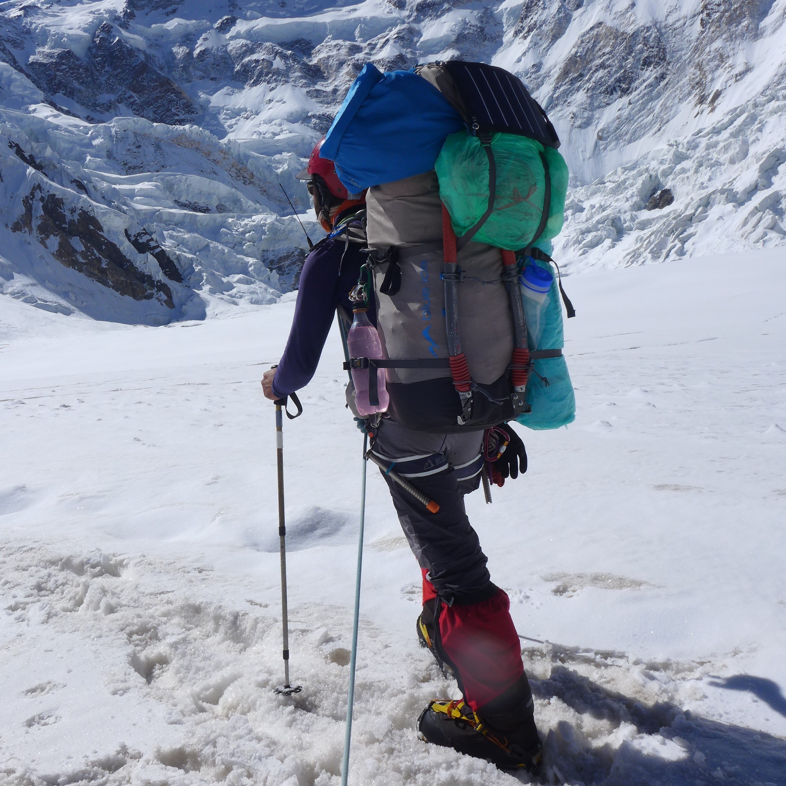
This year I came with a partner - Simon Taffner - and the plan to try the Abalakov route.
With all the crevasses on the glacier and on the Abalakov route it feels much better to be roped up with a partner. An Iranian group was 2 days ahead of us and sometimes we found their tracks but often we had to break trail through very deep snow. On good snow conditions like this year the Abalakov route is much saver than the classic route.
At 6600m, the camp before the summit day, we did catch up with the team from Iran. On the attack day they were only two hours ahead us but the wind coverd their footsteps within minutes and we had to dig our own way up. At 7000m Simon felt cold and not good enough to continue so he went back and I tried for the summit on my own. Just 100m below the summit I met the Iranians on their way back. At 18:00 I reached the last Rocks. It wasn’t very clear whether the real summit was about 300m east or west of that point. But I believe it is the east summit and the people comming from the classic route would only reach the heavily corniced point west of me. Above me, there were just some meters of steep snow/ice and a cornice when I turned to reach the camp before dark.
Maybe I would have tried again with Simon after a restday but I got a small frostbite on the right big toe. My frostbite and Simon's condition forced us to go down. We joind the Iranis who liked me to be the first on the rope. Therefore I had to try out all the crevasses and even to break a big cornice. Luckily the strong guys held all my falls and we were celebrating when reaching the flat glacier at 4500m.


